/
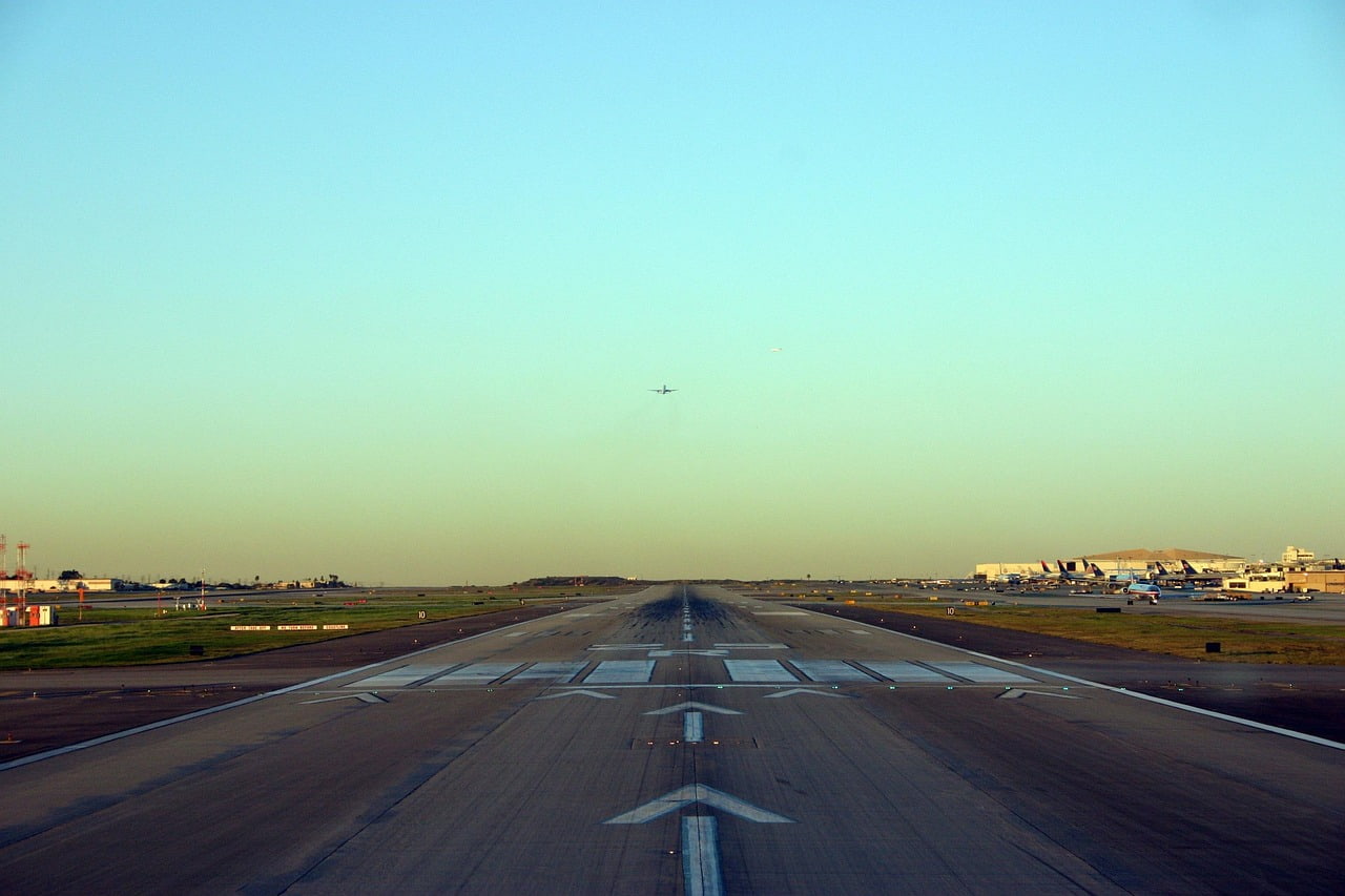
KMFD
70º
Live Weather Data
Airport Type
medium_airport
Elevation
1297
Runway Length
9001
Runway Width
150
Airport Code
Coordinates
40.82, -82.52
City
Mansfield
State
OH
Country
US
Continent
NA
Time Zone
America/New_York
Mansfield Lahm Regional Airport
NISS AVIATION
KDLZ
Delaware, OH
KS24
Fremont, OH
KSYM
Morehead, KY
K4I3
Mount Vernon, OH
4I3
KBJJ
Wooster, OH
KLPR
Lorain/Elyria, OH
KI40
Coshocton, OH
KMNN
Marion, OH
K10G
Millersburg, OH